Coba Archaeological Site
Coba Archaeological Site was our choice for our third day trip in the rented Nissan March. This important Maya site was not new to me. When I worked on my master’s thesis in Anthropology, years ago, I read many journal articles about Coba and the findings there, particularly in regard to Coba’s food crops and its urban settlement patterns. Robert and I then visited Coba shortly after I finished my thesis in 1990. During that visit, my memories of what I learned were very fresh. Alas, my recollections were not as clear this time.
At the site entrance, we hired a guide!
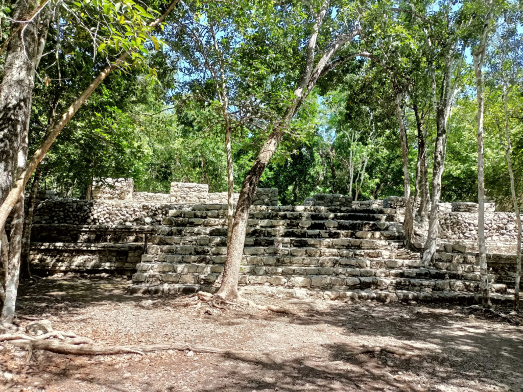
We hired a guide for a two hour tour and slowly walked the path from one pyramid to the other. Coba archaeological site is big and the featured pyramids are spread about. Though we walked with our guide to the furthest of the ruins that we planned to see, our guide encouraged us to hire a pedicab for the return to the site’s entrance. He told us that the fares for the rides help his ejido. So we rode in a pedicab back to the starting point at the entrance to the site. You can enjoy our view from the pedicab here!
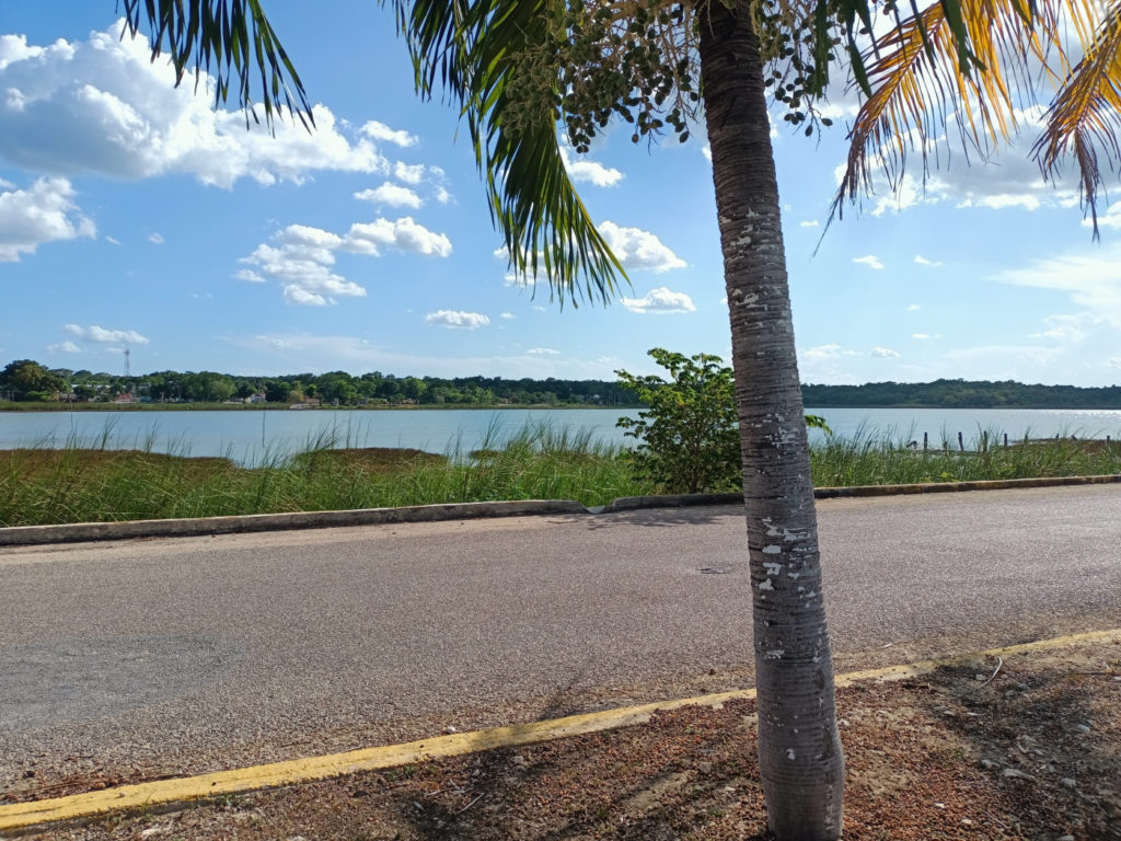
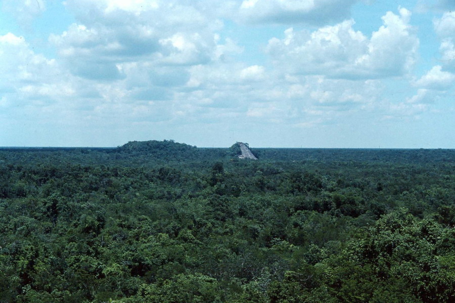
During the walk, Robert asked if we could see the lake from the path. The guide led us to a spot where we had a glimpse of the lake. Robert remembered viewing the lake on our visit to Coba in 1991 from the top of the pyramid.
Our guide told us that since the last big hurricane the lake has had crocodiles, which washed in with the hurricane’s waters. He told us that prior to the hurricane, the lake had no crocodiles, so the people of the ejido used it for swimming, but now it is dangerous.
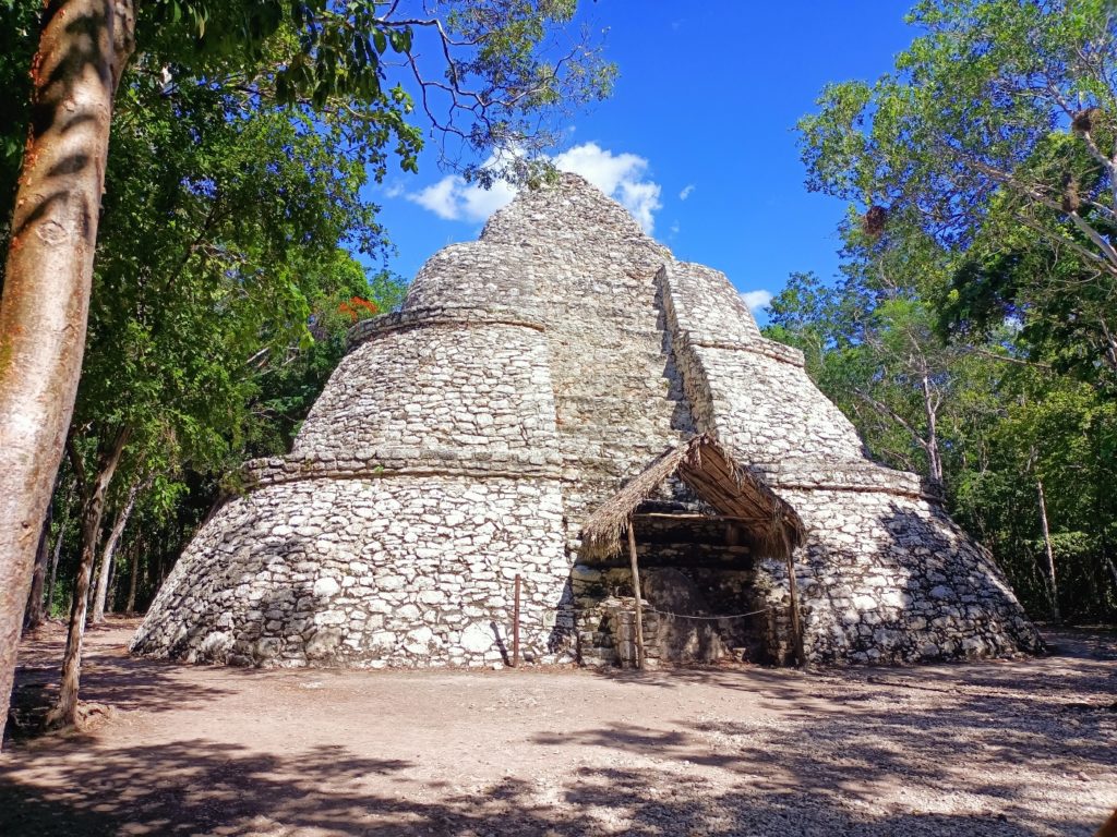
During the walk, our guide showed us copal trees and how the sap is taken and processed to make into a hard resin. Copal is the incense of choice for all the ceremonies around here and was during pre-Colombian times, as well.
Mayan Bees Are Tiny!
Our guide pointed out the Mayan bees on one of the trees. I read about these bees when working on my thesis, but I had never seen one close up. The tiny stingless bees make honey that is more syrupy than the honey of European bees. They live in trees. I was fascinated to see them up close. Later, at an store at the site’s entrance, we purchased a tiny jar of it!
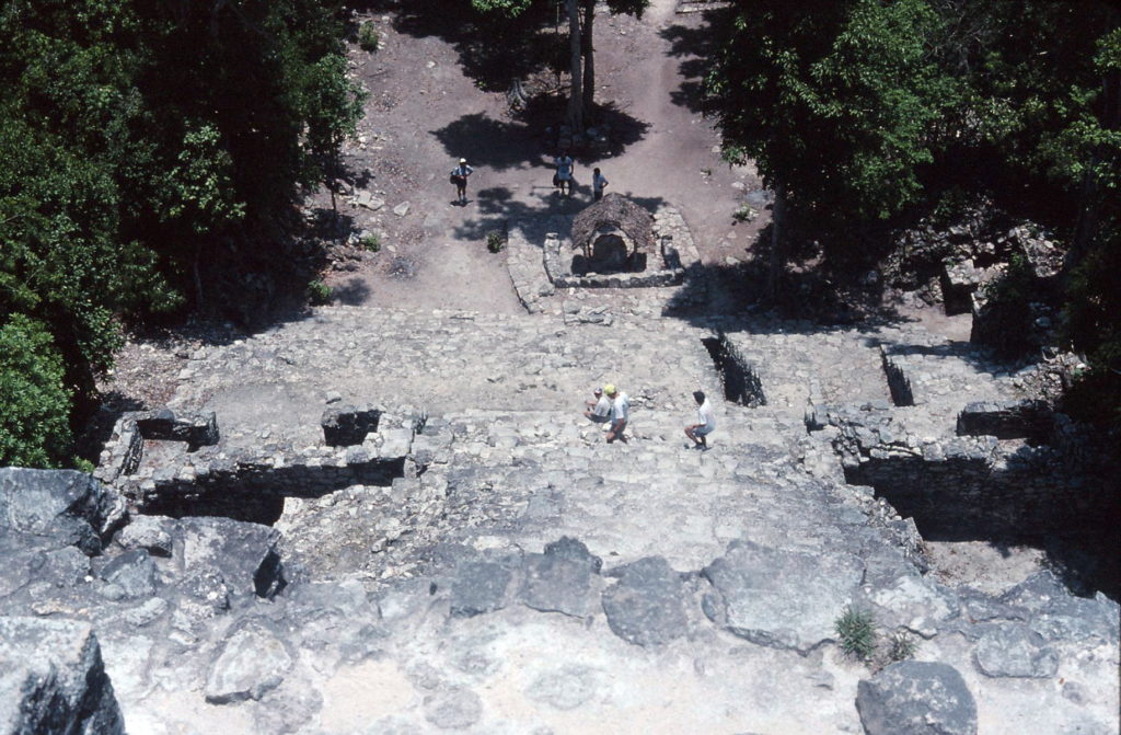
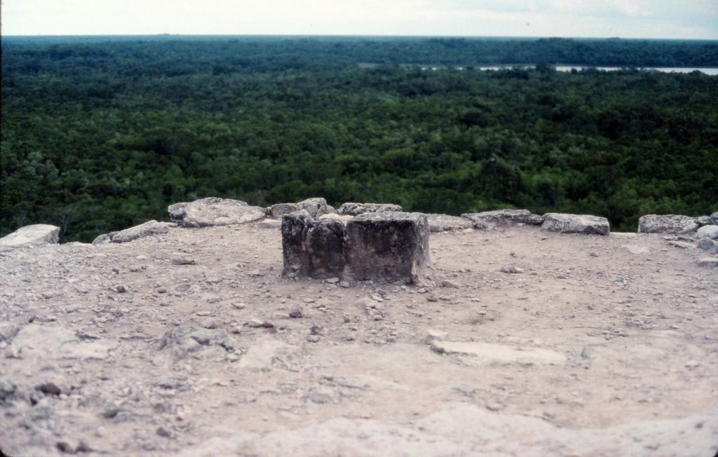
The surprise that I enjoyed on this visit was the opportunity to walk among the trees along the path. The heat of the August didn’t seem to penetrate the canopy of foliage. It actually felt comfortable. Out in the sunlight, away from the cover of trees, though, it was challenging to stand and look at the archaeological ruins! A couple of days before, during our drive through the Sian Ka’an Biosphere Reserve, I had been disappointed that we couldn’t really walk through the forest. Here, we did walk and it was surprisingly pleasant. In the photos above, which are scanned from slides that Robert took in 1991, you can see how dense the foliage is in this part of Quintana Roo.